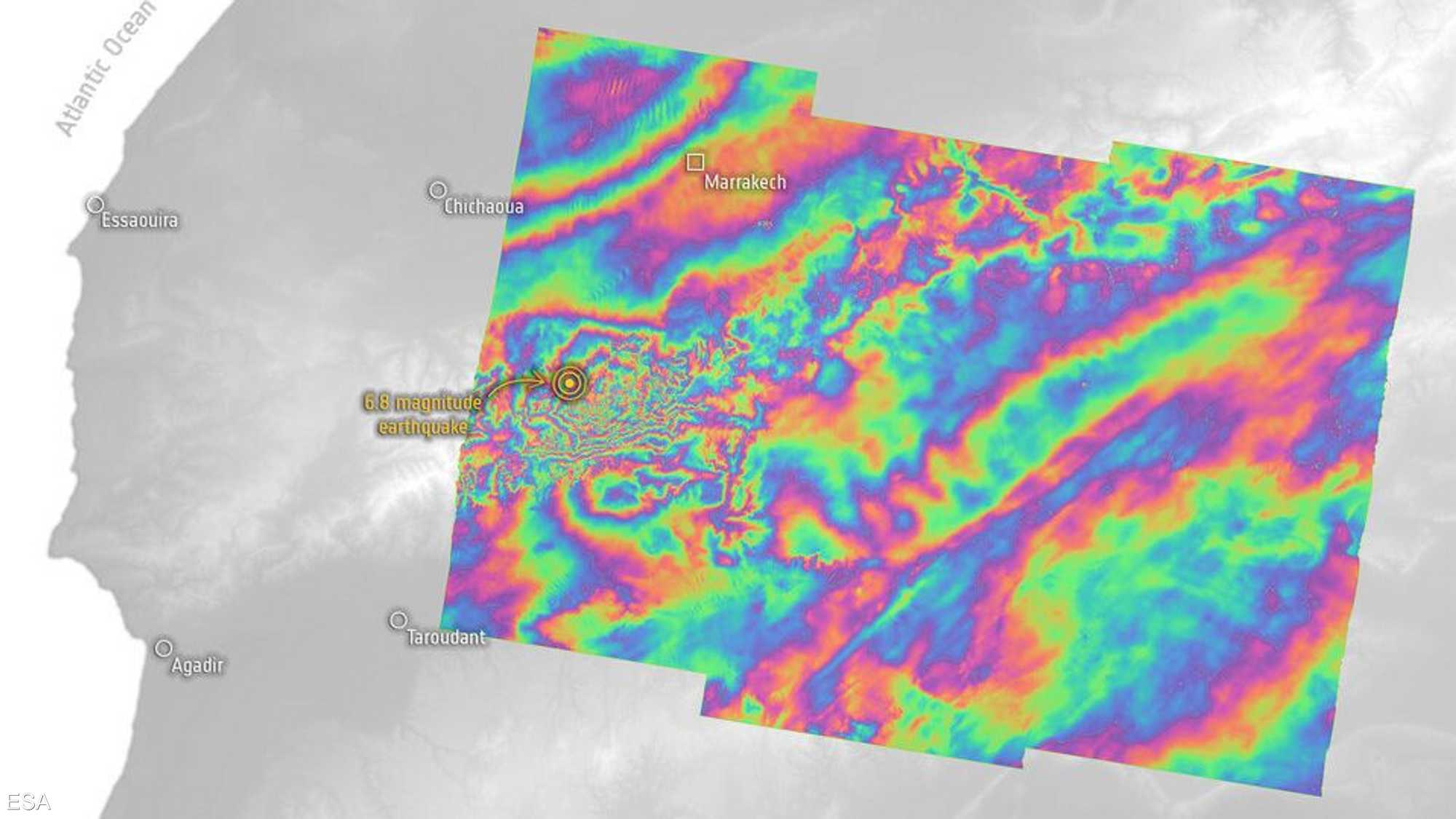
In the aftermath of the devastating earthquake that struck Morocco on the evening of September 8th, researchers have analyzed satellite data to monitor how the earth moved as a result of the natural disaster, which claimed thousands of lives and caused significant material losses.
The European Space Agency, on its official website, stated that satellite data was made available through the International Charter “Space and Major Disasters” to assist emergency response teams in Morocco.

Furthermore, measurements provided by the two satellites belonging to the “Sentinel-1” mission in Europe were used to analyze how the earth moved due to the earthquake. This information will aid in reconstruction planning and enhance scientific research, according to the same source.
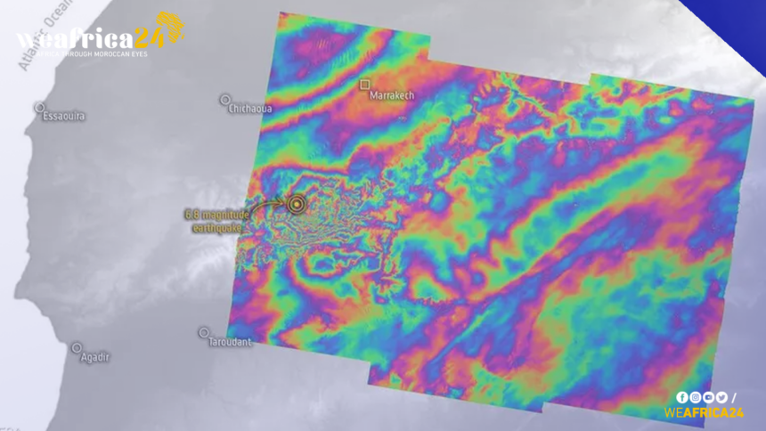
Scientists employed measurements in a technique known as “interferometric measurement” to compare the region before and after the catastrophe using a radar tool capable of “sensing” the earth’s surface.
Among the various objectives of this technology is to track the precise changes caused by earthquakes on the earth’s surface. In the case of the earthquake that shook Morocco, the data revealed that the maximum uplift reached 15 cm in some areas, while in other regions, the ground subsided by up to 10 cm, according to the BBC.
The European Space Agency stated that the images obtained from the measurements of the two satellites would assist scientists and rescue teams in assessing the situation and identifying the risks of subsequent aftershocks.


